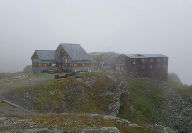
Tocht Andere activiteiten Val de Bagnes - Cabane Chanrion (2''462 m) - Photo

Cabane Chanrion (2''462 m)

 Romrando
Romrando

Gebruiker

© OpenStreetMap contributors
Lengte
Lengte
9,3 km
Max. hoogte
Max. hoogte
2622 m
Positief hoogteverschil
1045 m
Km-Effort
Km-Effort  
21 km
Min. hoogte
Min. hoogte
1853 m
Negatief hoogteverschil
436 m
Boucle
Boucle
Neen
Datum van aanmaak :
2014-12-11 00:00:00.0
Laatste wijziging :
2014-12-11 00:00:00.0

(0 Bericht)

Andere activiteiten
Andere activiteiten
--
Moeilijkheid : Onbekend

Scan deze QR-code om de tocht te openen in de SityTrail-applicatie

Gratisgps-wandelapplicatie

Logo SityTrail SityTrail

IGN / Geografische instituten

SityTrail uit de App Store downloaden SityTrail uit Google Play downloaden

Logo SityTrail SityTrail World

De wereld gaat voor u open

SityTrail uit de App Store downloaden SityTrail uit Google Play downloaden SityTrail op Huawei AppGallery downloaden

Over ons

Tocht Andere activiteiten van 9,3 km beschikbaar op Valais/Wallis, Entremont, Val de Bagnes. Deze tocht wordt voorgesteld door Romrando.

Beschrijving

Source:geocities.com/romrando - 24.7.05

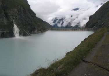
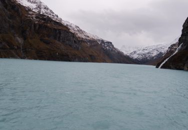
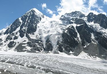
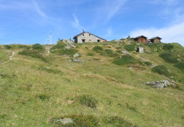
Itinéraire : De Mauvoisin par le tunnel on gagne le barrage que l''on traverse pour remonter par les hauts la rive droite du lac de Mauvoisin pour atteindre le col de Tsofeiret (alt. 2''625m.). De là par un passage nouvellement aménagé on descend puis on traverse les escarpements du pied du glacier du Breney avant d''atteindre bientôt la cabane. (Belle vue au sud vers le Bec d''Epicoune - et vers le SW le Mont-Gelé, la fenêtre de Durand et le Mont-Avril .

Hoogteprofiel

Plaatsbepaling

Land:
Switzerland
Regio :
Valais/Wallis
Departement/Provincie :
Entremont
Gemeente :
Val de Bagnes
Locatie:
Unknown
Vertrek:(Dec)
Vertrek:(UTM)
371697 ; 5095655 (32T) N.

Wandeltochten in de omgeving

Tocht Te voet Val de Bagnes - Barrage de Mauvoisin - Le Pleureur - Photo
Te voet
GUIDE+

Te voet

Medium
Val de Bagnes, Valais/Wallis, Entremont, Switzerland
4,3 km | 23 km-effort
5h 11min
Neen
Tocht Te voet Val de Bagnes - Pazagnou-Col des Otanes - Photo
Te voet
GUIDE+

Te voet

Gemakkelijk
Val de Bagnes, Valais/Wallis, Entremont, Switzerland
4 km | 11,6 km-effort
2h 38min
Neen
Tocht Te voet Val de Bagnes - Fionnay-Bonatchiesse - Photo
Te voet
GUIDE+

Te voet

Gemakkelijk
Val de Bagnes, Valais/Wallis, Entremont, Switzerland
4,5 km | 6,3 km-effort
1h 26min
Neen
Tocht Te voet Val de Bagnes - Louvie-Fionnay - Photo
Te voet
GUIDE+

Te voet

Gemakkelijk
Val de Bagnes, Valais/Wallis, Entremont, Switzerland
3,7 km | 6,3 km-effort
1h 26min
Neen
Tocht Stappen Val de Bagnes - Mauvoisin Bonatchiesse - Photo
Stappen
michauxpaul

Stappen

Moeilijk
Val de Bagnes, Valais/Wallis, Entremont, Switzerland
8,7 km | 16,2 km-effort
3h 40min
Ja
Tocht Te voet Val de Bagnes - Panossière-La Maye - Photo
Te voet
GUIDE+

Te voet

Gemakkelijk
Val de Bagnes, Valais/Wallis, Entremont, Switzerland
3,8 km | 6,4 km-effort
1h 27min
Neen
Tocht Te voet Val de Bagnes - Bonatchiesse-Mauvoisin - Photo
Te voet
GUIDE+

Te voet

Gemakkelijk
Val de Bagnes, Valais/Wallis, Entremont, Switzerland
3,2 km | 6,1 km-effort
1h 22min
Neen
Tocht Te voet Val de Bagnes - Tour du Val de Bagnes - Photo
Te voet
GUIDE+

Te voet

Zeer moeilijk
Val de Bagnes, Valais/Wallis, Entremont, Switzerland
36 km | 72 km-effort
16h 15min
Neen
Tocht Stappen Val de Bagnes - CHX ZRMT Étape 4 de Cabane de Louvie à Cabane de Prafleuri - Photo
Stappen
jeff2

Stappen

Medium
Val de Bagnes, Valais/Wallis, Entremont, Switzerland
12,3 km | 25 km-effort
5h 28min
Neen


Sluiten
Mijn abonnementen